BearMap mapping program
During 1999-2005 a mapping program BearMap had been developed in KB GS RAS for geophysical information presentation. It is widely used in KB GS RAS and some other organizations. All mapping illustrations in this site had been done using BearMap.
See also Complete HELP file of BearMap, paper about BEARMAP (.DOC, in English, 0.5M)
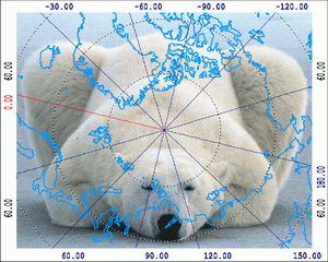
The program enables to plot maps in equidistant projection or in a form of 'globe', i.e. arbitrary projection of sphere to a plain.
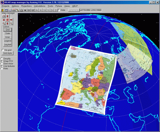
Example of map plotting using BearMap. The plot contains a vector coast line and two scanned fragments of maps connected with geographic coordinates.
The following primitives can be plotted:
- vector contours unfilled, filled or textured;
- bitmap images, i.e. .BMP or .PCX-files with fragments of maps which can be connected with geographic coordinates by reference points;
- lines which represent some earth distributed functions: isolines, profiles, borders of discontinuity;
- points with given coordinates, values of some function and text information;
- functions which are given in nodes of rectangular grids.
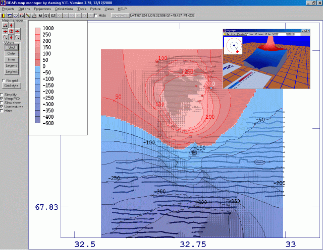
Example of plotting of Earth-distributed function